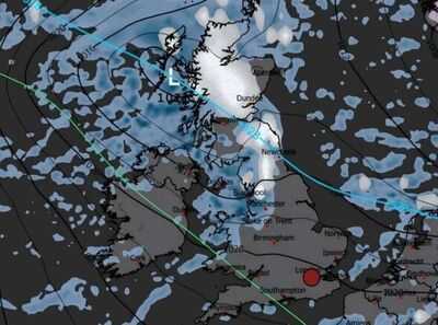
Latest weather maps show that snow could be on the way to the UK. As December draws closer and colder conditions set in, autumn weather is fading away, as harsher winter conditions appear to be on the horizon.
This week, some parts of the UK will see snowfall while others will be covered with rain. On Tuesday, November 18, chilly conditions will spread across Britain. At 9am, the maps show snow will stretch from the Scottish highlands to Blackpool. The deepest snow is expected in Scotland, reaching 5cm.
In some areas, the maps indicate that there will be snowfall of 10mm per hour over some patches of land, such as near Fort William.
There will also be some parts of England to see rain, but this will only be present in Cumbria, Stoke-on-Trent, Newcastle, Manchester and Liverpool.
By 12 noon, there will be more rainfall covering the UK than snow.
In England, there will be patches of snow in Birmingham, Sheffield and Stoke-on-Trent.
Large parts of Scotland and Wales are expected to experience rain, with the north of England also likely to be wet. In England, below Nottingham will be dry.
By 6pm, snowfall will be mostly restricted to Scotland, with Northern Ireland looking mostly dry and England to see rain in the Midlands and the north.
The maps show there could be some snowfall in Eastbourne, Sussex along the south coast of England and in Dudley, near Wolverhampton.
As for Wales, conditions will be largely wet, with only south Wales and parts of east Wales to be drier.
A Met Office forecast says: "A bright, frosty start for many. However, rain in the northwest extending southeast to all parts through the day, with some snow, especially in the north. Breezy and feeling cold."
-
Ranveer Singh’s Dhurandhar Set For A Two-Part Release? Trailer Drops Tomorrow

-
‘Congress Pushed Colonial Mindset, Prioritised English Language’: PM Modi
-
Harris Shield 2025: Arush Pundle Takes Six For In Podar's International Powai's Win

-
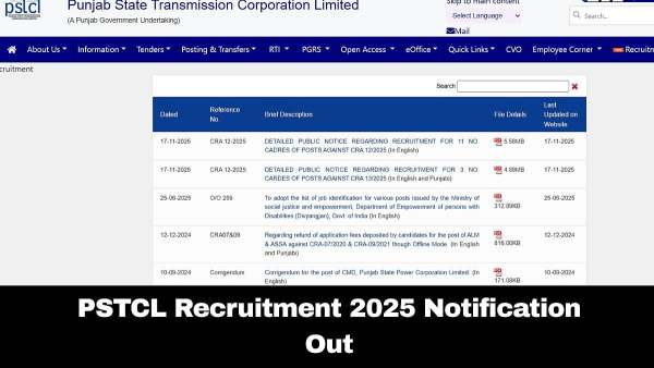
PSTCL Recruitment 2025: Registration Window Opens For 609 Posts; Check Eligibility Criteria Here
-
Pakistan vs Zimbabwe T20 tri-series match Predicted 11: Babar Azam IN, Haris Rauf OUT, Saim Ayub to…