As the nation prepares to celebrate its 250th anniversary with fireworks and summer festivities, the Northern Rockies are facing an unexpected winter storm. The National Weather Service has issued a revised winter storm warning and weather advisory for the region where Idaho, Montana, and Wyoming converge, as reported by Men's Journal.
Travel Advisories for the Holiday Weekend
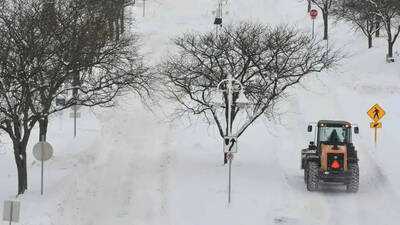
The timing of this storm is particularly unusual. While millions of Americans are gearing up for 4th of July celebrations, residents in this area are being cautioned against venturing into the backcountry this weekend and into the early part of next week. The National Weather Service has advised against travel in higher elevations and backcountry regions. For those who must travel, it is recommended to prepare a winter storm kit, which should include tire chains, booster cables, a flashlight, a shovel, blankets, extra clothing, water, and a first aid kit—essentially anything that could assist someone in case they become stranded.
Heavy Snowfall Expected
This storm is particularly notable for late June, with certain areas in Montana anticipating heavy, wet snow. The Georgetown Lake region could receive up to three feet of snow from Saturday night through Tuesday. The National Weather Service has warned that conditions may deteriorate rapidly in these areas, with cold temperatures, wind, and wet snow increasing the risk of hypothermia. Additionally, the weight of the snow could lead to fallen trees, obstructing access to backcountry roads.
Impact on Surrounding Areas
The storm's effects will not be confined to just one state. Idaho's 4th of July Peak is projected to receive about a foot of snow over the next three days, a rather ironic situation given the proximity to Independence Day. Meanwhile, Wyoming's Pitchstone Plateau is expected to experience the heaviest snowfall in the state, with around eight inches forecasted in the coming days.
Temporary Lull Before More Snow
Not all regions will experience constant snowfall during the storm. Near the Beartooth Mountains, which straddle the Montana-Wyoming border, snow is expected to ease or even stop temporarily on Sunday afternoon and evening. However, this respite will be short-lived, as snow is predicted to resume Sunday night and continue into Monday and Tuesday morning.
High Winds Complicate Conditions
In addition to snowfall, strong winds are also a concern, with gusts expected to reach up to 55 mph, creating further travel hazards on top of the accumulating snow. The National Weather Service has indicated that the winter storm warnings and weather advisories associated with this system will remain in effect until Monday night.
-
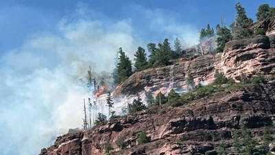
Mandatory Evacuations as Gold Mountain Fire Rages in Colorado
-
2nd T20I: Jai Moondra, Matthew Hollard claim three-fers versus India

-
Jofra Archer claims his maiden four-wicket haul in Tests: Stats

-
Mental Health: Are you also busy in work all the time? Know its effect on mental health

-
Magic gram flour face pack to restore facial glow