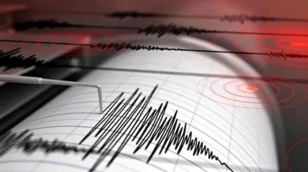
The South-East Asian country Indonesia was once again shaken by a terrible earthquake on Saturday morning. A devastating earthquake with an extraordinary intensity of 7.7 on the Richter scale was recorded in the coastal area of Flores Island, located in the eastern part of the country. The tremors were so strong that buildings, residential houses and port complexes in many cities started shaking like cards. As soon as the earthquake occurred, the local administration and Indonesia's Meteorological and Geophysical Agency (BMKG) immediately issued a tsunami alert for the coastal areas, due to which thousands of people living in coastal settlements started running towards higher places to save their lives. Epicenter and sequence of aftershocks According to the US Geological Survey (USGS) and the Indonesian Geophysical Agency, this powerful earthquake was recorded at 5:58 am local time. The epicenter of the earthquake was located at a shallow depth of just 10 kilometers under the sea, about 68 kilometers north-northwest of the city of Ende in East Nusa Tenggara province. Due to the shallow centre, the intensity of the tremors on the surface was felt very frightening. Several strong aftershocks ranging from 5.6 to 6.1 magnitude were recorded within half an hour of the main shock, which created a fear of repeat devastation in the minds of people during relief and rescue operations. Buildings turned into debris and widespread damage The earthquake caused widespread damage to infrastructure in the Maumere, Sikka and Nagekeo areas of Flores island. The roof of the passenger waiting room at Maumere port collapsed. There was chaos at St. Peter Major Seminary in Sikka when the roof of the assembly hall collapsed during morning prayers. In view of the possible danger after the earthquake, patients admitted in hospitals were evacuated safely to open fields and roads along with beds, oxygen cylinders and drip stands. Emergency rescue operations have been started by disaster management agencies to rescue people trapped under the debris. Tsunami warning and mass evacuation from coastal areas Immediately after the earthquake, BMKG issued a tsunami warning for the provinces of East Nusa Tenggara, West Nusa Tenggara, South Sulawesi and Southeast Sulawesi. The National Disaster Management Agency (BNPB) instructed citizens living along coastlines and rivers to immediately move to hills at least 2 kilometers away from the sea or higher than 10 meters. However, officials lifted the tsunami warning a few hours later after continuous monitoring of tide gauges showed no unusual or catastrophic rise in sea level, giving the coastal population a partial sigh of relief. Pacific Ring of Fire and Indonesia's Geographical Risk Indonesia is an archipelago of more than 17,000 islands located on the infamous 'Pacific Ring of Fire' of the Pacific Ocean. This area is considered to be the most sensitive seismic and volcanic area in the world due to its location at the meeting point of tectonic plates. A magnitude 7.8 earthquake and subsequent tsunami struck the Flores region in December 1992, killing about 2,500 people. This latest tremor of 7.7 magnitude has once again exposed the region's high vulnerability to natural disasters, due to which security forces and health teams are on 24-hour vigil across the region.
-
16-year-old girl dies after lorry hits bike on Hyderabad highway

-
Free Umar Khalid, Sharjeel Imam: Open letter to CJI Surya Kant

-
Who is Komal Rani Swarnkar, woman Sunita Ahuja links to Govinda?

-
WATCH: Wasim Akram Brings Back The Magic, England Legend Tested By Deadly Swing

-
WATCH: Jaiswal Suffers Bizarre Run-Out After Chaos With KL Rahul In Galle