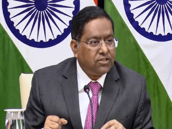
In a strong and uncompromising diplomatic assertion, India has made its position crystal clear regarding international cartography following a recent United Nations General Assembly resolution. While India voted in favor of a UN proposal advocating for equal-area global map projections to fairly represent continental proportions, the Ministry of External Affairs (MEA) issued a stern warning, declaring that any erroneous or misleading depiction of India’s sovereign territory—specifically including the Union Territories of Jammu and Kashmir and Ladakh—will not be tolerated under any circumstances.
UN Resolution on Equal-Area Maps and India’s Strategic Vote
The United Nations General Assembly adopted a resolution on September 4 titled “Get the Map Right – Rebalancing global cartographic representation and promoting equitable representation of the world’s regions, particularly Africa.” Passing with an overwhelming majority of 164 votes to one, the initiative encourages the adoption of equal-area cartographic projections that accurately reflect the true and comparative sizes of global landmasses rather than traditional distorted projections. However, during the proceedings, Indian diplomat Raghu Puri explicitly clarified that India’s support was strictly limited to the conceptual use of equal-area map projections and should not be misconstrued as an endorsement of any specific map system or delineation of boundaries.
MEA Spokesperson Randhir Jaiswal Reitrates Uncompromising Territorial Stance
Amplifying New Delhi’s unwavering stance, MEA official spokesperson Randhir Jaiswal emphasized that the adopted UN resolution does not endorse any specific world map, nor does it address political cartography, disputed territories, or international place names. Drawing a hard line, Jaiswal stated, “India’s sovereign territory, including the Union Territories of Jammu and Kashmir and Ladakh, must be depicted as per the official map of India. Any inaccurate or misleading depiction is unacceptable. Our position on India’s sovereignty and territorial integrity is clear, consistent and unchangeable.” The firm clarification ensures that international bodies adhere strictly to official Indian cartographic standards when representing national boundaries.
-
Dolly Parton’s death still unbelievable to family

-
From palaces to beaches: 5 best wedding destinations in India

-
Do you feel like eating sweet and sour pumpkin curry from Bhandara? Make it quickly at home, it will taste delicious with puri.

-
After the age of 30, the risk of these 'silent' diseases increases, health can deteriorate even without symptoms.

-
4 Zodiac Signs Attract Abundance & Luck On Thursday, September 10, 2026